Saturday, March 13, 2010

Sugarloaf and Black Mountain


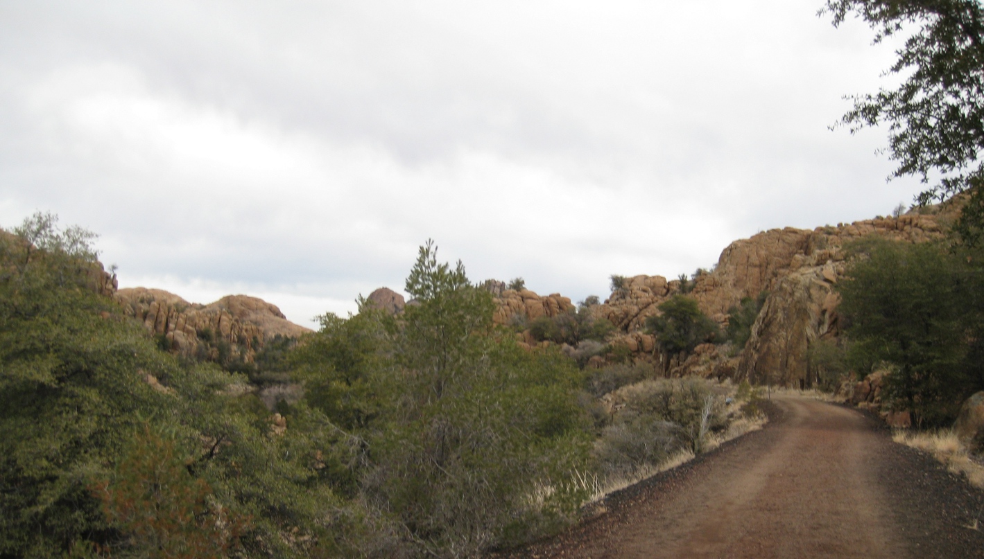
On 13 March 2010, eleven Skyliners (Jim Manning, Fran Lind, Marvin Alt, Bob Wakefield, Janet Wakefield, Daisy Williams, Donna Goodman, Lila Wright, Ellis Price and two others) set out to hike on Sugarloaf and Black Mountain. W took Hwy 89A north from Cottonwood and turned off on Bill Gray Road (FR 761) at the Catholic Church. We followed Bill Gray road for about 9.3 miles and then continued straight ahead on Black Mountain Road (FR 9525). Bill Gray Road turns to the right at this intersection. We followed Black Mountain Road for about 1 mile before parking to start our hike.

NOTE 1: Alternate Route -- Instead of turning off Bill Gray Road (FR 761) directly onto Black Mountain Road (FR 9525) where we did, one could continue on Bill Gray Road for about another two-thirds of a mile and turn left onto FR 761A.   FR 761A connects with Black Mountain Road, which itself becomes FR 761A at this point, where Black Mountain Road crosses under the power line, about three- tenths of a mile beyond where we parked.

NOTE 2: Turnoff to Indian Cave – At the point where Black Mountain Road crosses under the power line (at 34°52'56.20"N; 111°59'55.97"W), FR 9524 leads off to the northeast, generally following the power line. The Indian cave described later in this report is located in a red bluff on the right a bit under a quarter mile along this road.

We hiked along Black Mountain Road, heading generally northeast along the slope of Black Mountain toward Sugarloaf Mountain. Along the way (about half a mile after crossing under the power line) we noted a jeep trail, an old quarry road (FR 9526) that branches off and switchbacks up to the top of Black Mountain. We continued on past the jeep trail turnoff on our way to Sugarloaf Mountain. We found that we were climbing pretty rapidly and paused a few times to rest and take in the views.

Black Mountain Road runs along the slope of Black Mountain until it reaches Sugarloaf Mountain, which is joined to Black Mountain by a connecting saddle. The road then continues around Sugarloaf Mountain and leads to several quarries located on the northeast slope of Black Mountain. Some of the quarries are still active and the road is pretty well maintained. Any truck type vehicle can easily navigate it.

We would leave Black Mountain Road at the saddle between Sugarloaf and Black Mountain because the climb to the top of Sugarloaf is not too steep from there. Accordingly, when we reached the saddle we turned off and made our way up the slope.

We found no discernible trail leading between the road and the top of the saddle. However, from there on to the peak, we did find a faint trail, marked along the way with cairns. As we ascended, we had a good view back along the way we had come; the road along the slope of Black Mountain was clearly visible and, in the distance, we could see the snow-covered heights of Mingus Mountain above the shoulder of Black Mountain.

Mingus visible in the distance above the slope of Black Mountain – road visible at bottom of picture
And because I do like Mingus, here is a zoomed in view.

Magnified view of Mingus over the shoulder of Black Mountain
The climb up Sugarloaf from the saddle is not very difficult, although there are a couple of spots where one must climb over rock ledges.

We ate lunch while admiring the views from the top of the mountain. We searched for and found a memorial someone had patiently carved into a stone at the top of the mountain. We then spent the rest of our time enjoying the views all around us. Looking to the west, we could see Black Mountain Road zigzagging its way up to the quarries located on the northeast slope of the mountain. One vehicle made its way along the road around Sugarloaf and on up to the quarries while we watched. We saw the same vehicle again later as we were making our way back down to the road and the vehicle was leaving the area. Looking to the northwest we could see across Sycamore Pass into Sycamore Canyon Wilderness beyond. We identified the Trailhead for the Dogie Trail, a trail we plan to hike on April 10. To the northeast we could see the red mound that identifies Robbers Roost and beyond that Secret Mountain Wilderness. Moving to the southeast, we were looking down on Sugarloaf Tank #1 just below us and beyond that the Mago Retreat. The tank is located in the bottom of and not too far from the upper head of a canyon. The canyon bottom drops steeply again just below the tank. The canyon descends from west to east and we could see that a road climbs up the canyon on the south side, crosses at the tank and then descends back down the canyon on the north side. I determined later that this road turns around the shoulder of Sugarloaf and continues north to Sugarloaf Tank #2, which is located north of Sugarloaf Mountain. It can be accessed from Black Mountain Road by turning north on FR 9524 where Black Mountain Road crosses under the power line near the start of our hike.

Memorial carved in a stone on top of Sugarloaf Mountain
To the west we could see Black Mountain Road winding up the slope to the quarries.

Black Mountain Road zigzagging up the northeast slope of Black Mountain to the quarries
Looking northwest, we had a view across Sycamore Pass into Sycamore Canyon Wilderness.

Looking across Sycamore Pass and into Sycamore Wilderness from Sugarloaf Peak
To the northeast we could see across Robbers Roost into Secret Mountain Wilderness.

Robbers Roost (red mound in center) and Secret Mountain Wilderness beyond
To the southeast we could see Sugarloaf Tank #1 far below and the Mago Retreat beyond that.

Sugarloaf Tank #1 (lower right) and Mago Retreat (above and left of center)
Making our way back down to Black Mountain Road, we came out about 50 yards from where we had left the road on the way up.

On rejoining the road, we decided to make a side trip to the cliffs overlooking Sugarloaf Tank #1. Accordingly, we continued along the road for about two-tenth of a mile as though we were going to circle around Sugarloaf Mountain before turning off to the cliff above the tank. After arriving at the top of the cliff, we decided that a better view was to be had at another location and moved along the cliff edge toward the head of the canyon in which the tank is located. Below is a view of the tank from our second viewpoint. The tank is visible to the left; you can see the Mago Retreat near the upper right.

Sugarloaf Tank #1 (left); Mago Retreat (upper right)
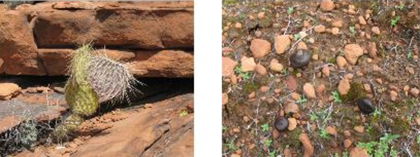
While we were wandering around atop the cliff, we observed a small manzanita in full bloom (a bit early?), a small juniper growing on the very edge of the cliff, a stubborn prickly pear cactus that just refuses to give up and some strange mushrooms. George, who is traveling and was unable to be with us on this hike, is our mushroom person and I will ask him to identify them for us when he returns from his trip.

A Manzanita in bloom                                        A little juniper on the cliff’s edge
A very stubborn prickly pear cactus             Small black mushrooms
Jim Manning had indicated that he knew of some Indian ruins located near our route back and we left to explore those. To do this, we returned to Black Mountain Road, hiked back past where we had turned off to climb Sugarloaf Mountain, continued on past the jeep trail (FR 9526) that switchbacks up to the top of Black Mountain and turned off when we could see the red bluff that the Indian Ruins are located in. We noted later that the most direct route should one wish to go directly to the ruins would be to turn off Black Mountain Road onto FR 9524 where Black Mountain Road crosses under the power line and follows the power line to the northeast. The ruins are in a red bluff to the right a bit under ¼ mile from Black Mountain Road. However, because we were on our way back and approaching from the other direction, we shortened the trip a bit by cutting off before we reached FR 9524 and taking a diagonal route to the ruins. We traveled through pastureland that was pretty easy walking.

We found the ruins (located at 34°53'4.43"N; 111°59'42.51"W) to be basically a cave-like opening in the bluff under a rock overhang. The overhang was deep enough to provide shelter in just about any weather. The site is easily accessed, lying only about a tenth of a mile off FR 9524. Because it is so easily accessed, the site has undoubtedly been much visited over the years. Despite this, we did find a few pottery shards, which we photographed and left behind. We also noted some very interesting erosion formations on the back wall of the overhang.

The space sheltered by the overhang is about 10 feet deep and at least 30 feet long, providing ample space to shelter a small group.

Indian Ruins. See the opening at the bottom of the red bluff, visible over the top of a bush (right of center)

Indian Ruins. See the opening at the bottom of the red bluff, visible over the top of a bush (right of center)
Pottery shards                                                         Erosion formations on the       
                                                                           Back wall of the overhang
We intended to return to Black Mountain Road by way of FR 9524 back to finish our hike. I sat under the overhang and took a photograph of the group as they assembled outside to resume the hike.

Assembling hikers framed in the opening with Mingus in the background
This hike was about 6.75 miles round trip (My GPS said 6.74 while the file I downloaded to my computer said 6.5). This includes the side trips to the cliffs above Sugarloaf Tank #1 and the Indian Ruins. The elevation change was just over 900 feet.

The included map (below) shows our GPS track for this hike.


Monday, March 8, 2010

Beaverhead Flat Rd to Oak Creek/Jordan Overlook


For this 8 March 2010 hike, thirteen of us (Dolly Yapp, Anita Jackson, Daisy Williams, Miriam Sterling, Virginia Driscoll, Marvin Alt, Betty Wolters, Lila Wright, Jim Manning, Ellis Price and three others) traveled north on 89A from Cottonwood, turned right on Cornville Road and continued through Cornville to Beaverhead Flat Road. There we turned right and parked alongside Forest Road 119A.

Forest Road 119A is fairly well traveled and could be easily navigated by any truck type vehicle. Even a passenger car would be acceptable if driven with care. About 0.65 miles from the parking area we left Forest Road 119A to climb a relatively steep slope to a viewpoint that would give us an overview of the hike.

A primitive road took us part way to the top; the remainder of the climb was straightforward and not very difficult. The distance from FR 119A to the viewpoint is only about a third of a mile and the elevation change is a bit less than 200 feet. Along the way we noted that a few flowers were beginning to bloom.

These included, an admittedly scraggly looking, Indian paintbrush (below left) and a forlorn sprig of Spring parsley (below right). They were not very impressive, but they did serve as a timely reminder that spring was upon us and we would soon enough be seeking trails in the high country.

Indian paintbrush                                        Spring parsley
From the viewpoint we had a good view of the surrounding area and were able to decide, generally, where we would go on our hike. Basically, we could bear west or slightly northwest and come out somewhere along Oak Creek or we could bear southwest and come out along the Verde River. We chose the Oak Creek option and resumed our hike along the forest road until we came to a suitable place to turn toward Oak Creek.

Mingus Mountain (center) and Woodchute Mountain (right)
About 0.75 miles further along Forest Road 119A from the turnoff to the viewpoint, Forest Road 9213 leads off to the right. (NOTE: We actually turned just a bit under two tenths of a mile before reaching Forest Road 9213 and joined it a bit further on. The difference in hiking distance is insignificant; however it is possible that one might miss the road by turning early.)

This is the junction of Forest Roads 9213 and 119A. Mingus and Woodchute are visible in the distance
A power line runs parallel to and down slope from Forest Road 9213 for just under a mile. The power line then makes a 900 turn toward the river. At about the same place the road also turns to the left (NOTE: Another road bears right at this point and, although we did take it for this hike, the best practice would be to continue on Forest Road 9213.) Just about a tenth of a mile after the forest road turns to the left, another road leads off to the right, going generally northwest. This is the one you want to take to repeat this hike. The road ended less than half a mile ahead; however that is not a problem if the goal, as was the case with our group, is to arrive at an overlook from which one can see out over Oak Creek. Just follow along the spine of the ridge from where the road ends until you come out at a point overlooking Oak Creek with a small community visible on the other side and Mingus Mountain showing in the distance. I heard someone refer to the community, which is accessed by Loy Road from Cornville, as “Lower Cornville.” However, Anita’s GPS software referred to it as “Jordan” and indeed it came up when I typed “Jordan, AZ” into Google. I have, thus referenced it with that name in the title of this report.

When we arrived at the Oak Creek/Jordan Overlook, we found that we were looking down on the area where we had ended our hike to Oak Creek along Cactus road on 6 February 2010. It was a really great viewpoint and we settled in for lunch and my customary nap before starting back.

During the hike back to where we were parked at Cornville Road, some of us took the way I have recommended in this report (that is without the two deviations described; however, both tracks are shown on the accompanying Google maps) in order to collect the correct the information for the GPS track.

One of our hikers collected some bits of biocrust on the way back. On learning that they were be composed of something growing from organic matter, she started to wonder just what the organic matter might be that she was carrying in her hands and finally decided to take a picture (right) and ditch the objects.

This hike was about 7.3 miles in length, including the side trip to climb to the viewpoint where I took the photograph of Mingus, with an elevation change of only about 450 feet.

The GPS track for this hike is shown on the included map (below).


Saturday, February 27, 2010

Peavine Trail


Seven Skyliners (Gordon Bice, Miriam Sterling, Collene Maktenieks, Daisy Williams, Ellis Price and two others) traveled to Prescott on 27 February 2010 to hike on the Peavine Trail. We took Hwy 89A south through Jerome and across Mingus Mountain to the intersection with US 89. We then traveled south toward Prescott on US 89 to Prescott Lakes Parkway, turned left and went about another third of a mile before turning left on Sundog Ranch Road at the Humane Society. The turnoff to the trailhead parking lot is about 275 yards ahead on the left.

The Peavine Trail follows the bed of the old Santa Fe, Prescott and Phoenix (SFP&P) Railway. It connected Prescott to the Santa Fe mainline at Ashfork (from 1893) and Phoenix through skull Valley, Congress and Wickenburg (from1895). The Santa Fe line into Prescott was discontinued in 1984. It was known as the Peavine because of its wandering route and serpentine trestles.
We hiked for just over three miles along the Peavine Trail before arriving at the junction with Iron King Trail. Along the way we were presented with great views of the Granite Dells. A couple of representative examples are displayed on the following page.

Looking into the Granite Dells from Peavine Trail.
The following information was posted at the junction of Peavine and Iron King Trails.

A view of Peavine Trail running along the old railroad bed through the Granite Dells
General information                                      Mountain lion warning
we had a choice (right): we could bear left and continue on the Peavine Trail which would end at Side Road, just off Hwy 89A, about 1.8 miles ahead, we could take the Iron King Trail, or we could have lunch here and turn back. Since it was not quite lunchtime we decided to continue on and even though the Mountain Lion Warning seemed to pertain to the Iron King Trail, we chose to go that way because it is relatively new and no one in our group had hiked it before.

Along the way I was intrigued by a perfectly-formed hedgehog cactus while the rest of the group were more interested in old rail-cars positioned along the trail:

Hedgehog cactus                                         NOT playing on the rail-car
Please note that Gordon and Collene are NOT playing on the rail-car. A small sign posted nearby specifically prohibits that.

We hiked about 1.15 miles on Iron King Trail before stopping to eat. After lunch we continued for about another tenth of a mile in order to look down into Prescott Valley before turning back. Iron King Trail apparently ends at Glassford Hill Road near Tuscany Way in Prescott Valley.

After looking out over Prescott Valley and the Yavapai County Fairgrounds, we turned and headed back with the intention of taking a side trail through the Dells along Watson Lake for part of the way.

View looking down Iron King Trail toward the junction with Peavine
Earlier, while we were hiking on Peavine to the junction with Iron King, we had noted that Lakeshore Trail wound its way through the Granite Dells running parallel to Peavine and between it and Watson Lake. We decided that we would take that trail back as it looked like a nice alternative to hiking along the relatively straight and level Peavine Trail.

Lakeshore Trail lived up to our expectations. With all the winding and climbing required to follow the trail through the Dells, the distance turned out to be only about three-quarters of a mile further than continuing along Peavine. The close-up views within the Dells and those across Watson Lake were well worth the extra effort. Several photographs are included on the following pages.

View of the Dells from Lakeshore Trail
View across Watson Lake from Thumb Butte near Lakeshore Trail
Magnified view across Watson Lake from Thumb Butte
View from Lakeshore Trail looking back toward Peavine Trail
View across Watson Lake from Lakeshore Trail
After approximately 1.75 miles of hiking through the Dells alongside Watson Lake, we came back out on Peavine Trail about 1 mile short of the south trailhead.

The total hiking distance for this hike was 9.6 miles according to my GPS and the total elevation change was approximately 100 feet. The GPS track is shown on the included map (below).

(NOTE: A small variation in measured hiking distance is possible for this trail, depending on where one chooses to start measuring. The logical possibilities are: where one parks, the location of the kiosk and toilets, or the actual point where one enters the old railway bed. I chose to start when I left the car.)


Wednesday, February 17, 2010

House Mountain – Indian Ruins and Cave


Five hikers participated in a hike to House Mountain to visit Indian Ruins and a cave that runs all the way through a butte. We drove to The Village of Oak Creek and turned off Hwy 179 onto Verde Valley School Road. We continued on Verde Valley School Road (and Red Rock Crossing Road - unpaved) for 4.0 miles to a rough dirt road leading off to the left. Parking is available at this point. However, we drove on the rough 4-wheel drive road for about 0.6 miles to reach the parking area at Trail 92 (Turkey Creek Trail).

Left to right: Jim Manning, Dolly Yapp, Gordon Bice and George Everman - Photographer: Ellis Price
We stopped at Turkey Creek Tank, about 1.6 miles from the trailhead, to look at some Devil’s Claw (Desert Unicorn) seed pods and wondered what the plant itself looked like. I learned later that the scientific name is Proboscides althaeifolia.

We paused to admire some soap tree yucca plants along the way. Although we were attracted at first by a small, perfectly formed sample of the plant alongside the trail, I was more intrigued by a group of more mature plants framing a hillside topped with a red rock bluff.


                 Perfectly formed soap tree yucca             Soap tree yucca plants framing                       
                                                                                          hillside view
As we continued on Turkey Creek Trail we could see the area we were aiming for to our left. The faint vapor trail on the horizon in the center of the below photograph points to the red butte where the cave is located while the Indian ruins are just beyond the butte.

Our goal is pointed out by a faint vapor trail on the horizon in the center of this photograph.
Around 1.25 miles from Turkey Creek Tank, we came to a cairn alongside the trail followed a few yards further by a second cairn

Cairn marking the spot where the trail makes a sharp right turn.
The trail takes a sharp turn to the right at the second cairn (at 34°47'8.25"N; 111°50'25.71"W). We left the trail there and followed a less distinct path to the left along the side of the mountain. Even that path ended after only a few yards and we stopped there for a snack before resuming our difficult trek along the mountainside.

Snack break                                                     Going where no trail exists
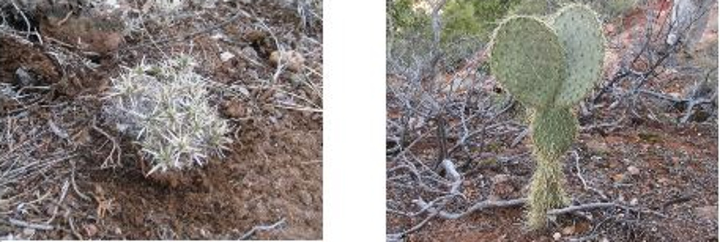
Following the contour of the mountain on our way to the area where the Indian ruins and the cave were located, we came upon a couple of very interesting cactus plants. One was a prickly pear that looked as though it were wearing a skirt. The other, we later learned, was a Paper-spined fishhook cactus, protected in Arizona. (NOTE: It is confirmed only in AZ, NM & TX.)

Paper-spined fishhook cactus Prickly Pear Cactus with a skirt
(endangered in AZ)
We would first visit the Indian ruins and then return to the cave in the red butte in time for lunch. To do so, we passed by the narrow saddle that connects the butte with the mountain proper.

Shot of the saddle between the mountain proper and the red butte
The saddle, capped with an erosion resistant layer of limestone, drops down sharply on both sides, leaving only a narrow path for passage to the butte.

Less than a tenth of a mile beyond the saddle leading to the butte, we arrived at the Indian ruins.

View of Indian ruins
The ruins (located at 34°47'15.81"N; 111°49'57.79"W) showed obvious signs of human habitation, by Indians and by later visitors. There were smoke stains on the walls, old pottery shards and modern graffiti. After looking the ruins over, Gordon voiced the opinion that this must have an Indian bachelors pad as no brave could have gotten away with building such a shoddy wall if his spouse were present.

Just past the ruins, I found a place where one could easily climb on up the cliff to the plateau above the ruins (below left). I paused about half way up to take a shot of hikers standing in front of the ruins (below right).

An easy (relatively speaking) path           Looking back at the hikers in front
to the top                                                       of the ruins
From the ruins, and especially from the plateau above, one is afforded spectacular views across Sedona and the surrounding red rock country. See the two following photographs as examples.

View of red rock country
After I climbed down from the plateau above and we had finished with the ruins, we turned our attention to our next objective … the red butte with the cave running all the way thru. The butte was clearly visible from the ruins and we made our way back along the mountainside until we arrived at the saddle that crosses over to it.

Red butte from the Indian ruins Crossing the saddle to the red butte
After crossing the saddle it was just a few yards to the cave opening. The opening, at the very bottom of a seam in the butte, did indeed go all the way through, a distance of about 35 feet. After some discussion of technique, George climbed through the butte and took a picture from the other side. The below pictures show the opening through the butte, a picture from the other side, George stopping for a photo on the way back and George emerging from the opening.

                                        Looking through the butte (south to       Picture from the opposite (north)                                                                                     north)                                                             opening
George starting the trip back through    George emerging from the cave
the cave                                                          in the red butte
After exploring the cave we settled down in the sun on the butte for lunch. As can be seen in the photograph below, I had a lot of company for my customary after-lunch nap (I am barely visible behind the brush at the cave opening).


Left to right: Ellis (behind the brush), Gordon, Jim and Dolly (George was the photographer)
Gordon had identified a way to descend from the bridge into the wash below, and after lunch we all followed him down the mountain. The climb down and the trip along the wash were relatively easy and we rejoined the Turkey Creek Trail where it crosses the wash about seven tenths of a mile south of Turkey Creek Tank.

When we arrived back at the parking area, my GPS showed that we had hiked 8.2 miles and that the elevation gain was around 600 feet.

The GPS Track for this hike is shown included map (below)


Saturday, February 13, 2010

Hike on Munds Wagon Trail


Eleven Skyliners (Donna Goodman, Lila Wright, Dolly Yapp, Collene Maktenieks, our hike leader (unnamed), Jim Manning, Daisy Williams, George Everman, Ellis Price and two others) hiked Munds Wagon Trail from the west trailhead to the Merry-Go-Round and back on 13 February 2010. From Cottonwood, we traveled north on Hwy 89A to Sedona, turned onto Hwy 179 at the traffic circle, crossed Oak Creek and then turned left on Schnebly Hill road. Just under a mile after turning onto Schnebly Hill Road, and before the pavement ended, we turned left into the Trailhead shared by Huckaby, Marg’s Draw and Munds Wagon Trails.


Following the trail we crossed back and forth across the wash in the bottom of the canyon and even crossed Schnebly Hill Road Several times. Water was flowing in the wash and the rocks were dangerously slippery in at least one spot.


As we crisscrossed the wash on our way up the trail, we saw several small but interesting waterfalls. I was especially intrigued by this one, seemingly straining to remain a waterfall with barely a trickle of water flowing over the red rock, it was set off by trees above, below and on both sides:


Taken looking up the wash from a trail crossing
Looking back down the canyon, we had clear views all the way to Woodchute Mountain.


Looking back down the canyon from along the trail. The snow-covered mountain in the distance is Woodchute. Sedona is visible directly out the mouth of the canyon.
As we approached our goal, Merry-Go-Round, we could see beyond it to where the old wagon road, at that point Schnebly Hill Trail, runs diagonally from left to right up the mountain to the rim. Munds Wagon Trail crosses the Merry-Go-Round formation on top of the rock ledge shown below, entering at the right of the formation, circling around the left side and continuing up the mountain for about 1/2 mile where it crosses the present day Schnebly Hill Road and becomes Schnebly Hill Trail on the other side. The trail intersection is not clearly visible in the picture below; however, it is located just below the gap in the extreme left of the below photograph, about even with the rock ledge of the Merry-Go-Round formation. The Schnebly Hill Trail itself can be seen running diagonally up the mountain as it nears the rim. See the faint line near the right edge of the photograph close to the rim.

This is a shot of the Merry-Go-Round from the trail. Looking beyond, one can see Schnebly Hill Trail snaking diagonally up the mountain from left to right. Munds Wagon Trail ends about 1/2 mile above the Merry-Go-Round where it crosses present day Schnebly Hill Road and becomes Schnebly Hill Trail on the other side and then follows the old wagon road on to the rim.
When we reached the Merry-Go-Round (Carousel), I found a nice clump of grass for my nap and after eating quickly drifted off into slumberland. The rest of the party, entertained themselves by throwing rocks and broken branches over the cliff to raise pollen clouds from the Arizona Cypress trees just below. Luckily, my napping spot was far enough away that I was not disturbed and, on the way back, George gave me a free small-scale demonstration of what I had missed.


George using my walking pole to beat pollen dust off an Arizona Cypress.
The below shot is a close up of Arizona Cypress foliage.


This is a close up shot of Arizona Cypress foliage. The source of the pollen shows in yellow here. Note the balls, similar to those on American Red Cedar trees back east.
We made the return trip partly on the trail and partly along Schnebly Hill Road which was closed to vehicle traffic and was pleasant hiking. Some of the time we parted ways, part of the group following the trail and the rest choosing the road. Daisy and I remained on the road for most of the way back and arrived about 15 minutes before the rest of the group.


Close to a mile below the Merry-Go-Round (at 34°52'26.07"N; 111°42'31.67"W) a trail leads up the mountain from Schnebly Hill Road. We think it might come out on the rim near the intersection of Schnebly Hill, Jacks Canyon, Hot Loop and Munds Mountain Trails. We have placed it on our list of trails to explore.


My GPS reading on completion of the hike was 6.5 miles. The GPS measured distance to the Merry-Go-Round was 3.15 miles. My downloaded file indicates that the total elevation change for the hike was 1075 feet.


Our track for this hike is shown on the included map (below)