Seven Skyliners (Gordon Bice,
Miriam Sterling, Collene Maktenieks, Daisy Williams, Ellis Price and
two others) traveled to Prescott on 27 February 2010 to hike on the
Peavine Trail. We took Hwy 89A south through Jerome and across
Mingus Mountain to the intersection with US 89. We then traveled
south toward Prescott on US 89 to Prescott Lakes Parkway, turned left
and went about another third of a mile before turning left on Sundog
Ranch Road at the Humane Society. The turnoff to the trailhead
parking lot is about 275 yards ahead on the left.
The
Peavine Trail follows the bed of the old Santa Fe, Prescott and
Phoenix (SFP&P) Railway. It connected Prescott to the Santa Fe
mainline at Ashfork (from 1893) and Phoenix through skull Valley,
Congress and Wickenburg (from1895). The Santa Fe line into Prescott
was discontinued in 1984. It was known as the Peavine because of its
wandering route and serpentine trestles.
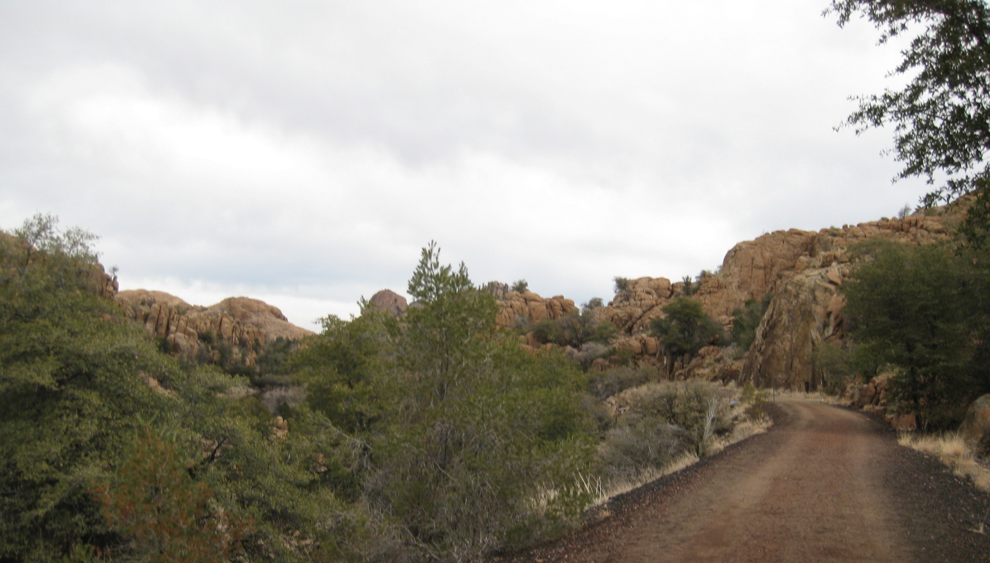
We
hiked for just over three miles along the Peavine Trail before
arriving at the junction with Iron King Trail. Along the way we were
presented with great views of the Granite Dells. A couple of
representative examples are displayed on the following page.
 |
Looking
into the Granite Dells from Peavine Trail.
|
 |
A
view of Peavine Trail running along the old railroad bed through the
Granite Dells
|
 |
General information Mountain lion warning
|
 we had
a choice (right): we could bear
left and continue on the Peavine Trail which would end at Side Road,
just off Hwy 89A, about 1.8 miles ahead, we could take the Iron King
Trail, or we could have lunch here and turn back. Since it was not
quite lunchtime we decided to continue on and even though the
Mountain Lion Warning seemed to pertain to the Iron King Trail, we
chose to go that way because it is relatively new and no one in our
group had hiked it before.
we had
a choice (right): we could bear
left and continue on the Peavine Trail which would end at Side Road,
just off Hwy 89A, about 1.8 miles ahead, we could take the Iron King
Trail, or we could have lunch here and turn back. Since it was not
quite lunchtime we decided to continue on and even though the
Mountain Lion Warning seemed to pertain to the Iron King Trail, we
chose to go that way because it is relatively new and no one in our
group had hiked it before.
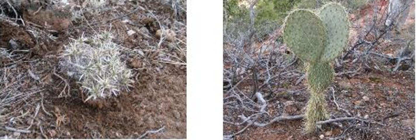
Along
the way I was intrigued by a perfectly-formed hedgehog cactus while
the rest of the group were more interested in old rail-cars
positioned along the trail:
 |
Hedgehog cactus NOT playing on the rail-car
|
We
hiked about 1.15 miles on Iron King Trail before stopping to eat.
After lunch we continued for about another tenth of a mile in order
to look down into Prescott Valley before turning back. Iron King
Trail apparently ends at Glassford Hill Road near Tuscany Way in
Prescott Valley.
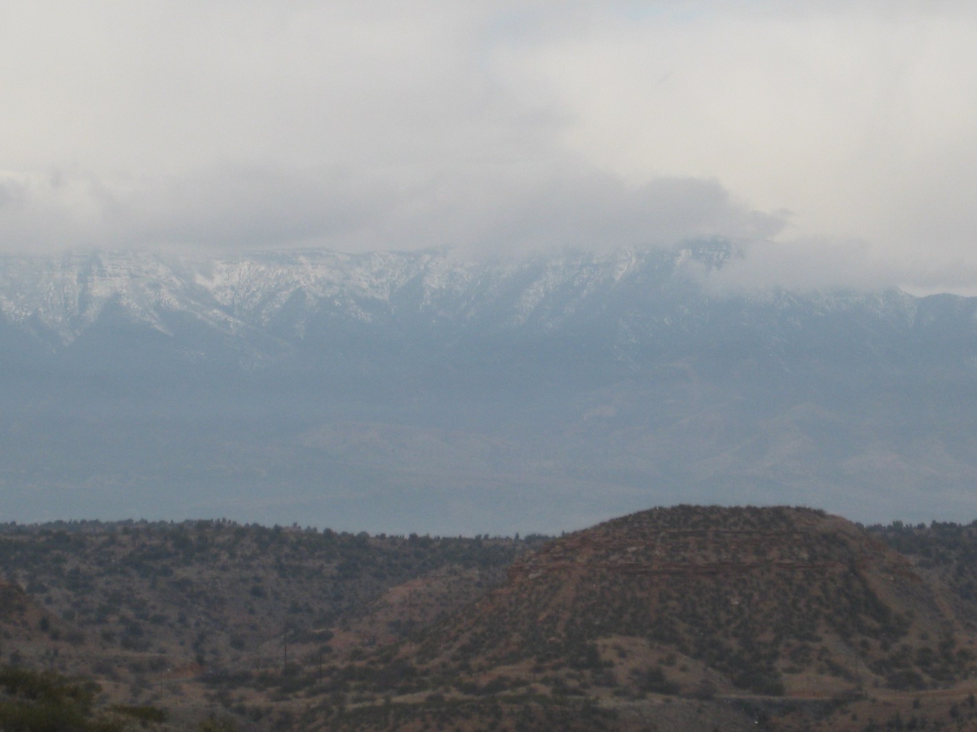
After
looking out over Prescott Valley and the Yavapai County Fairgrounds,
we turned and headed back with the intention of taking a side trail
through the Dells along Watson Lake for part of the way.
 |
View
looking down Iron King Trail toward the junction with Peavine
|
Lakeshore
Trail lived up to our expectations. With all the winding and
climbing required to follow the trail through the Dells, the distance
turned out to be only about three-quarters of a mile further than
continuing along Peavine. The close-up views within the Dells and
those across Watson Lake were well worth the extra effort. Several
photographs are included on the following pages.
 |
View of the Dells from Lakeshore Trail
|
 |
View across Watson Lake from Thumb Butte near Lakeshore Trail
|
 |
Magnified view across Watson Lake from Thumb Butte
|
 |
View from Lakeshore Trail looking back toward Peavine Trail
|
 |
View across Watson Lake from Lakeshore Trail
|
The
total hiking distance for this hike was 9.6 miles according to my GPS
and the total elevation change was approximately 100 feet. The GPS
track is shown on the included map (below).
(NOTE:
A small variation in measured hiking distance is possible for this
trail, depending on where one chooses to start measuring. The
logical possibilities are: where one parks, the location of the kiosk
and toilets, or the actual point where one enters the old railway
bed. I chose to start when I left the car.)