From Cottonwood, we traveled
north on Hwy 89A, turned right on Cornville Road, drove through
Cornville and turned right to park alongside Cactus Road near
Cornville Tank. The turnoff onto Cactus Road is between mile markers
6 and 7. Leaving the parking area, we followed Cactus Road for
approximately 1.85 miles before turning off on an old unused road and
then hiking down a hillside to enter a wash that empties into Oak
Creek.
About one third of a mile from
where we parked, Cactus Road crosses a wash on a rock ledge. The
floor of the wash is shallow above the crossing, about level with the
roadbed; however, it drops off sharply at the edge of the ledge and
immediately becomes about 10 feet deeper. The wash eventually drains
into Oak Creek, becoming a veritable canyon before reaching its
destination. About 0.80 miles from the parking area, a trail leads
off to the left. I think that I heard someone refer to it as "Hilda
Trail." About 1.75 miles along Cactus Road we came to a fork in
the road with a billboard displaying a picture of a praying woman:
 |
Billboard displaying a praying woman
|
A side road leads off to the
right just in front of the billboard ending at a viewpoint
overlooking Oak Creek. In the near distance, just across Oak Creek,
we saw a community of manufactured and mobile homes. Farther in the
distance was Mingus Mountain whose snow-shrouded upper reaches were
visible through a hovering cloud. We paused for a snack and to take
pictures:
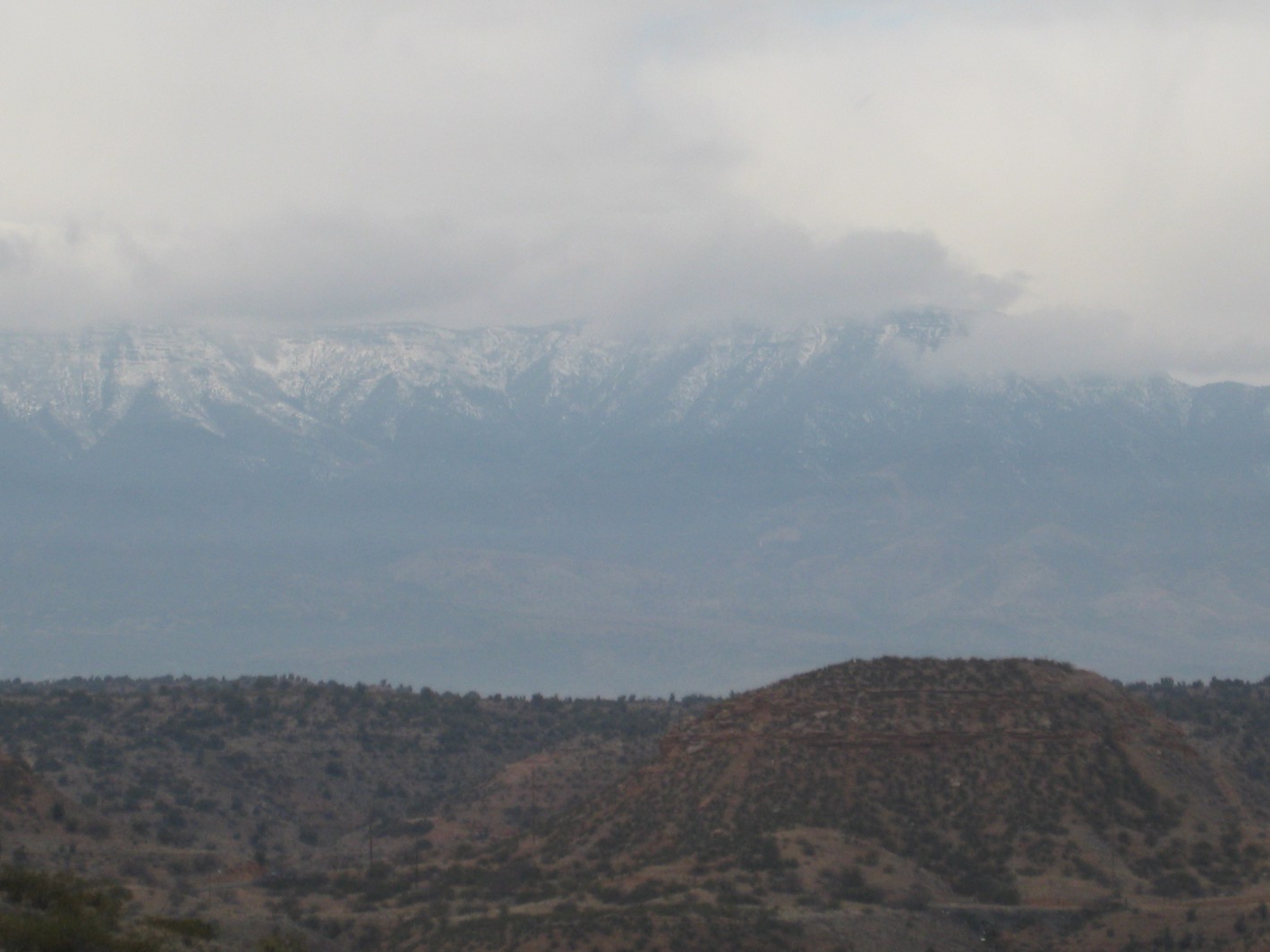 |
A zoom view of snow-covered Mingus Mountain seen through the clouds
|
We had a snack at the viewpoint
and then returned and continued our way along Cactus Road for about
another tenth of a mile before we came to an old blocked-off road on
the left and followed that to enter the same wash that we had
encountered at the beginning of our hike. As we crossed a hill on our
way to the wash we could see down into a gated community that is
located at the end of Cactus Road. The gate at the end of Cactus Road
is about two tenths of a mile beyond where we turned of the road.
About 0.25 miles after leaving
Cactus Road, having followed the abandoned road part way, we entered
the wash and turned downstream to eat lunch at Oak Creek.
When we reached the creek, about
0.55 miles from where we entered the wash, I instantly recognized it
as the perfect spot for a leisurely lunch, a cup of hot tea and a
nap. Alas, our hike leader, a hardy sort, had decided that we should
go back up the wash and sit on the rocks to eat lunch. As for me,
having already spotted my resting place, having been promised a lunch
alongside Oak Creek and being naturally uncooperative anyway, I
declined to leave my spot. The rest of the company went back up the
wash and settled on the hard rocks for lunch while I washed down my
hummus and cheese sandwich with a hot tea and then settled in for a
15-minute nap in a comfortable bed of grass. I was quickly lulled to
sleep by the music of the flowing stream:
 |
The author (Ellis) settled in for lunch and a nap (photograph by Virginia Driscoll)
|
After my cellphone alarm awakened
me, still reluctant to leave, I lingered a bit to drink in my
peaceful surroundings (photograph on next page) and then hiked up the
wash to rejoin the rest of the group. On our way back, we were to
follow the wash all the way to where Cactus Road crossed it on the
rock ledge about a third of a mile from the parking area.
 |
The view from my perfect lunch spot alongside Oak Creek
|
 |
Looking up the wash we would follow on the return trip
|
 |
View of the wash
|
The total hike distance was about
5.7 miles according to my GPS log. An estimate using Google Earth
indicates that the distance to Oak Creek hiking down Cactus Road as
we did, including the side trip to the viewpoint was about 2.85
miles. The hike back, although seemingly a more direct route,
followed the wandering course of the wash and turned out to be about
the same distance.
Our entire hike is shown the
included map (below).

No comments:
Post a Comment